Israel's Expanding 'Yellow Line' in Gaza Alters Geography
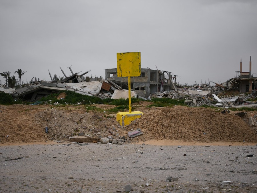
The current situation in Gaza reveals a complex and evolving dynamic as Israel manipulates the 'Yellow Line'—originally intended as a temporary ceasefire boundary—into a tool for territorial advancement. The concrete markers, once demarcations post-ceasefire, have now contributed significantly to the Israeli hold over the region, reportedly encompassing 64.9 percent of the Gaza Strip as of mid-2026.
This expansion has resulted in substantial Palestinian displacement, heightening the tensions in the region. As a direct impact, over 1,168 fatalities have been recorded since the October ceasefire, with a significant portion occurring near the redefined line. In Deir el-Balah, recent evacuations underscored the acute shifts in territorial control, with Israeli forces reportedly relocating markers westward, directly impacting residential and agricultural lands.
In the Zeitoun neighborhood, displaced families have formed makeshift camps in close proximity to these contentious lines. Their precarious existence is underscored by daily threats, including falling shrapnel and the ever-present risk of losing more land and lives to the advancing frontier.